
Strong El Niño Winter Forecast: Colder, Stormier US Winter Ahead, NOAA Says
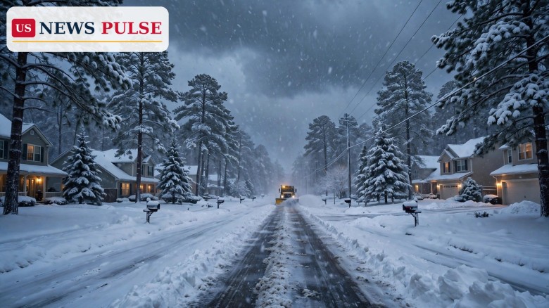
WASHINGTON — Federal forecasters have sharpened their picture of the winter ahead: a very strong El Niño will steer America's weather from December through next spring, bringing a wetter, stormier season to much of the South and East while the far North stays milder than usual. NOAA's updated El Niño winter forecast, released on Thursday, November 19, 2026, puts the powerful Pacific pattern at the centre of the season — with a disrupted polar vortex adding a cold twist for the East in early December.
Key Points
- “Very strong” El Niño is present now and will dominate US temperatures and precipitation this winter and into next spring, NOAA says.
- December should run warmer than average across the whole northern tier; only a small part of the Gulf Coast is forecast colder than normal.
- The whole southern tier faces a wetter-than-average winter, with the heaviest rain and snow in southern California, Florida and the Southeast coast.
- No part of the country is forecast to run below average for the winter as a whole.
- An unusual November warming above the Arctic displaced the polar vortex, pushing the Arctic Oscillation toward its negative phase, which typically brings cold and snow to the eastern US.
What Happened
The updated outlook comes from NOAA's National Weather Service and Climate Prediction Center, which released the new forecasts on Thursday — the clearest picture yet of the winter of 2026-27.
“The strong El Niño is likely to be the major influence on temperatures and precipitation this winter through next spring,” National Weather Service meteorologist Brad Pugh said. “Very strong El Niño conditions are present and (will) significantly impact the December 2026 monthly outlook,” forecaster Dan Collins added.
El Niño Winter Forecast: What the Maps Show
December sets the tone: warmer-than-average conditions are likely across the entire northern tier, from the Northwest to the Northeast. Only a small section of the Gulf Coast should see below-average temperatures; the rest of the country has equal chances of above, below or near-normal readings.
December precipitation tells a wetter story: above-average rain or snow is likely for both coasts and the entire southern tier, wettest over the Southeast and Florida, while below-average precipitation should be confined to the far northern Rockies and northern Plains.
The full winter outlook for December through February looks much the same: above-average temperatures across the northern tier, warmest in Washington state, the Great Lakes and New England, while the Southeast and Florida stay near normal. Strikingly, no part of the nation is forecast to have below-average temperatures this winter. The southern tier should stay wet all winter, hardest hit in southern California, all of Florida and the Southeast coast; the dry spots are the northern Rockies and the western Great Lakes.
Background: What El Niño Is and Why This One Matters
El Niño is a natural climate phenomenon in which surface waters in the central and eastern Pacific become unusually warm, shifting weather worldwide and causing extremes — drought in some regions, heavy rain in others. Strong events have a long reach, and this one is forecast to last.
“A strong El Niño continues and is forecast to persist through January-February-March 2027,” Pugh said. That staying power is why forecasters expect it to dominate the season.
The Polar Vortex Wild Card
Above the North Pole, something unusual happened this month: a sudden stratospheric warming — a rapid warming high above the Arctic — displaced the polar vortex.
Forecasters have consistently shown a shift toward a negative Arctic Oscillation near the end of November and the beginning of December, meteorologist Laura Ciasto told USA TODAY. “While multiple factors can impact the AO, forecasts have consistently shown that the recent polar vortex disruption is playing at least some role in the negative AO,” she said. Even so, the cold may be limited at first: models predict only modest cooling of the southeastern US in early December, “possibly due to currently relatively warmer than average arctic temperatures,” Collins said.
Reactions: What Forecasters Are Watching
The most urgent watch is flooding in Florida. “We've already seen flooding rainfall affect the Florida Peninsula this month and there is an increased risk of additional flooding rainfall this winter with the strong to very strong El Niño,” Pugh told USA TODAY.
The federal outlook does not predict snow. Forecasters project only precipitation, not snowfall totals, because snow depends on individual storm tracks. “The outlook does not project seasonal snowfall accumulations as snow forecasts are generally not predictable more than a week in advance,” the Climate Prediction Center said.
Why It Matters
A wet, stormy winter has real costs. Heating bills are already forecast to climb about 7 percent this season, and a long stretch of cold snaps and storms can push that higher. Travel will be disrupted more often, especially around the holidays, and repeated rain raises flood risk in places already saturated.
For the South and the coasts, the season will test drainage, roads and power grids already strained by weeks of storms. California, which has just endured an atmospheric river that brought flooding rain and up to four feet of Sierra snow, faces more of the same through the winter.
What Happens Next
All eyes are now on the end of November and the start of December, when the negative Arctic Oscillation is expected to take hold. NOAA will update its monthly outlook in the coming weeks, and the December forecast will be the first check on whether the strong El Niño is delivering the wet southern winter the maps predict.
Frequently Asked Questions
What is El Niño?
El Niño is a natural pattern in which Pacific surface waters become unusually warm, shifting global weather and causing extremes such as heavy rain in some regions and drought in others.
Will this winter be colder than normal where I live?
Probably not overall. NOAA forecasts above-average temperatures in the North and near-normal readings in the Southeast and Florida, with no part of the country below average for the winter as a whole — though short cold snaps are still possible.
Will it snow more than usual?
No. Federal forecasters do not predict seasonal snowfall totals, because snow depends on individual storm tracks. But the southern tier should see above-average precipitation — more rain and, where cold enough, more snow.
What is the polar vortex doing this winter?
An unusual November warming above the Arctic displaced the polar vortex, pushing the Arctic Oscillation toward its negative phase, which brings cold and snow to the eastern US in late November and early December.
When will NOAA update the forecast?
NOAA's Climate Prediction Center updates its outlooks regularly. The next updates will show whether the strong El Niño and the polar vortex disruption are playing out as forecast.
Related: US Heating Bills to Rise 7% This Winter as Heating-Oil Costs Jump 70%, NEADA Warns • California Atmospheric River Storm Brings Flooding Rain and 4 Feet of Sierra Snow
© 2026 US News Pulse. All rights reserved.
 Print
 Save